
Serving Whitman County since 1877
Serving Whitman County since 1877
Warmer weather expected to return during the weekend
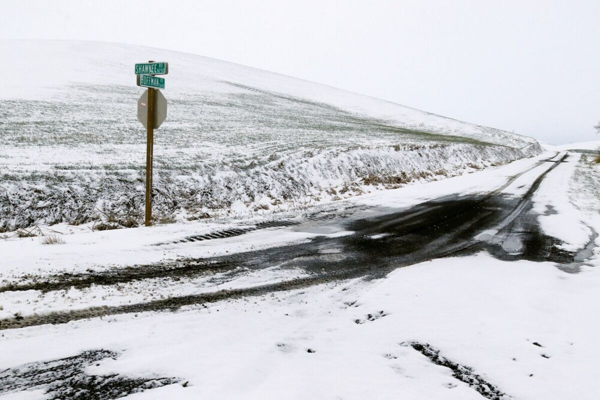
Snow blankets the intersection of Shawnee and Hoffman Roads southeast of Colfax on Monday, April 12.
Snow falls on farm equipment along U.S. Highway 27 north of Tekoa.
COLFAX - The National Weather Service is predicting snowfall is possible throughout the remainder of the week.
The forecast comes after two days of late-season snowfall already this week.
Early Sunday morning, snow blanketed much of Eastern Washington, from Pullman west to Ritzville and even the Tri-Cities.
While some communities plowed roads, much of the snow melted that day.
Snow resumed again Monday morning, affecting travel on state Highway 26 from Dusty west to Washtucna, and south of Colfax along U.S. Highway 195.
Communities in the Tri-Cities area received the most snow reported in Washington state, with Benton City accumulating more than 5 inches, according to National Weather Service meteorologists
In Whitman County, few main roads were impacted by snowfall.
But that could still change this week.
The National Weather Service is predicting 20% chance of snow today, Thursday, April 14, and 30% tonight.
The weather agency is predicting up to a 60% chance of snow for souther portions of Whitman County on Friday night, April 15.
"New snow accumulation of less than a half-inch possible," the weather agency reported.
The chance of snow declines Saturday.
By Sunday, temperatures are expected to rise back into the upper 40s.
On Monday, the forecast is for a low of 37 and a high of 57.

Roger Harnack is the owner/publisher of Free Press Publishing. Having grown up Benton City, Roger is an award-winning journalist, photographer, editor and publisher. He's one of only two editorial/commentary writers from Washington state to ever receive the international Golden Quill. Roger is dedicated to the preservation of local media, and the voice it retains for Eastern Washington.


Reader Comments(0)