
Serving Whitman County since 1877
Serving Whitman County since 1877
Excessive heat watch remains through Saturday
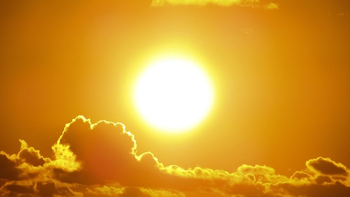
COLFAX - It's hot already and it'll creep up a little more until it starts to cool on Sunday.
"High pressure will build back over the region with drier and warmer weather ... The main story will be the extreme heat that returns by Thursday and lasts through the weekend," stated a National Weather Service meteorologist.
It is predicted to reach 97 degrees on Thursday, Aug. 12, in Whitman County, climb to 99 degrees on Friday, and reach 100 degrees on Saturday, according to the weather service. The agency declared an "excessive heat watch" through Saturday.
"A strong upper ridge over the region is continuing hot temperatures. A weak mid-level wave is tracking down the Continental Divide and enhances the northerly pressure gradient, which halts the warming for a day with highs in the 90s to near 100 for most locations," according to the weather service.
Sunday is predicted to be cooler at 92 degrees for a high temperature and lower for Monday at 84 degrees.
"Changes begin over the weekend into early next week as an upper trough in the Gulf of Alaska pushes the ridge east. A mid-level wave off the Oregon coast gets picked up by the trough and passes through bringing increased forcing (and) mid-level instability for a thunderstorm threat," according to the weather service.
The haze should remain throughout Whitman County as winds are predicted to be about 6-7 mph.
"The northerly winds may bring increased smoke into the region from British Columbia as those fires become increasingly active in the coming days," according to the weather service.

Bill Stevenson is the former editor of the Whitman County Gazette, Colfax Daily Bulletin and Franklin Connection. He has nearly 30 years of journalism experience covering news in Eastern Washington.

Reader Comments(0)